A Traveller’s Guide to Earthquakes and Tsunamis in the Marshall Islands
The Marshall Islands lies in the Pacific, where earthquakes around the wider Pacific Ring of Fire can generate tsunamis that travel across the ocean. While strong local earthquake shaking is not a common concern for most travellers, the country’s low-lying coral atolls are vulnerable to tsunami waves, coastal flooding and strong ocean currents.
The most significant recent tsunami event recorded in the Marshall Islands was the 2011 Tohoku tsunami from Japan, which was measured at Kwajalein and Majuro. Although the waves were much smaller than in Japan, the event was an example of how distant earthquakes can still affect the islands.
While earthquakes and tsunamis are rare, travellers should stay informed and prepared. This guide offers essential tips for staying safe during earthquakes or tsunamis whilst exploring the atolls.
For advice on weather-related risks, see our guide: Typhoon Safety in the Marshall Islands. You can also check out Is It Safe to Travel to the Marshall Islands? for more general safety tips.
This article is based on real on-the-ground research, not on AI scraping old content from the internet. Learn how we use AI!
Table of Contents
5 Facts About Earthquakes and Tsunamis in the Marshall Islands
- The Marshall Islands is not located on a major active volcanic island arc, but tsunamis from distant Pacific earthquakes can still reach its low-lying atolls.
- Most tsunami threats to the Marshall Islands come from earthquakes along active subduction zones elsewhere in the Pacific, including the Japan-Kuril, Aleutian, Mariana and South Pacific regions.
- The 2011 Tohoku earthquake and tsunami from Japan was recorded in the Marshall Islands, with the largest measured runups reaching 26 in (66 cm) at Kwajalein and 20 in (51 cm) at Majuro.
- The Marshall Islands has a medium tsunami hazard rating, meaning coastal areas should take tsunami warnings seriously even though major events are rare.
- The country’s atolls formed on ancient volcanic seamounts and reef systems, but the Marshall Islands does not have active volcanoes or recent volcanic eruptions.
Earthquakes in the Marshall Islands
The Marshall Islands is located in the wider Pacific region, where many of the world’s earthquakes occur around the edges of the Pacific Ocean. However, the country is not positioned directly on a major active plate boundary, so strong local earthquake shaking is not considered one of the main natural hazards for most travellers.
The islands themselves are low-lying coral atolls and reef islands built on ancient volcanic seamounts rather than active mountain ranges or fault zones. As a result, earthquakes are generally a background regional hazard rather than an everyday concern for visitors.
Tsunamis in the Marshall Islands
Tsunamis are one of the more important natural hazards to be aware of in the Marshall Islands, usually triggered by large undersea earthquakes elsewhere in the Pacific. Undersea landslides can also generate tsunamis, although there are no known local tsunami-generation sources within the Marshall Islands.
Since historical records began, 32 earthquake- or landslide-generated tsunamis have impacted the Marshall Islands. Most originated from active subduction zones around the Pacific Ring of Fire, including the Japan-Kuril, Aleutian, Mariana, New Hebrides and Tonga regions.
The most significant recent event was the 2011 Tohoku tsunami from Japan, which was recorded in the Marshall Islands. The largest measured runups reached around 26 in (66 cm) at Kwajalein and 20 in (51 cm) at Majuro. While this was far smaller than the devastation experienced in Japan, it shows that distant earthquakes can still affect the Marshall Islands’ low-lying atolls.
How to Prepare for a Tsunami in the Marshall Islands
The Marshall Islands has tsunami warning protocols involving the RMI Weather Service Office, the National Disaster Management Office and the NOAA Pacific Tsunami Warning Center. Still, travellers should take extra steps:
- Sign up for or monitor alerts from NOAA and the Pacific Tsunami Warning Center.
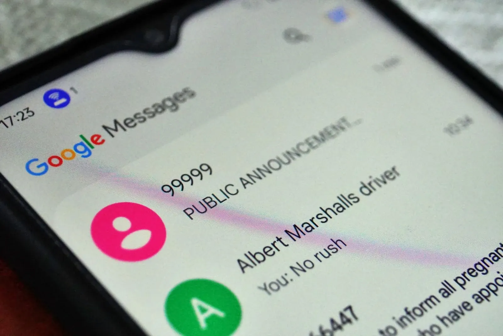
- Get a local SIM card so you will receive texts from the RMI Government when an alert is issued
- Be aware of where you are staying in relation to the coast, lagoon and any designated evacuation or safe areas.
- Ask your accommodation provider or local host where to go if a tsunami warning is issued.
- Keep a small emergency bag ready with water, snacks, medication, phone, charger, cash and important documents in a waterproof pouch.
- Listen out for official tsunami warnings through radio, SMS, websites, Facebook pages, police announcements, HF radio and other local communication channels.
What to Do if a Tsunami Warning is Issued
Tsunami warnings may be issued after a major undersea earthquake in the Pacific. Natural warning signs can include strong or unusual shaking, the sea suddenly receding, unusually strong currents or a loud roaring sound from the ocean. If any of these signs occur, follow the steps:
- If you notice natural signs of a tsunami before an official warning is issued, act immediately
- If you are near the coast, lagoon shore or harbour, move to higher elevation, inland or a designated safe area as quickly as possible
- Follow instructions from the National Disaster Management Office, RMI Weather Service Office, police, accommodation staff and local community leaders
- Avoid beaches, reefs, bridges/causeways, harbours and lagoon edges until authorities say it is safe.
After a tsunami, continue listening to official announcements. Do not return to affected coastal areas until authorities have confirmed that the danger has passed, as tsunami waves and strong currents can continue for several hours.
-SEB%20CREDIT%20MarshallIslandsPocketGuide.com.webp?v=2026-07-09T18%3A27%3A50.167Z)
Frequently Asked Questions About Earthquakes, Tsunamis and Natural Disasters in the Marshall Islands
Now that you know about natural disasters in the Marshall Islands, here are the answers to the internet’s frequently asked questions about earthquakes, tsunamis and natural hazards in the Marshall Islands!
Has the Marshall Islands ever been hit by a tsunami?
Yes, the Marshall Islands has been affected by tsunamis, though major destructive events are rare. Historical records list 32 earthquake- or landslide-generated tsunamis that have impacted the country.
What natural disasters are common in the Marshall Islands?
The main natural hazards in the Marshall Islands include coastal flooding, high waves, king tides, drought, tropical storms, typhoons and tsunamis.
When is typhoon season in the Marshall Islands?
Typhoons and tropical storms are generally most likely to affect the Marshall Islands from around May to November, although tropical disturbances can occur outside this period. For more information, check out Marshall Islands Weather, Seasons & Climate + Weather by Month.
What should I do if there’s an earthquake in the Marshall Islands?
If you feel an earthquake in the Marshall Islands, drop to your hands and knees, take cover under a sturdy table or against an interior wall, and hold on until the shaking stops. Stay away from windows, shelves and loose objects. Once the shaking ends, check for hazards such as damaged buildings, broken glass and downed power lines, then follow official instructions from local authorities.
More About Earthquakes and Tsunamis in the Marshall Islands
That's it for our guide to earthquakes and tsunamis in the Marshall Islands. For more about natural disasters and safety tips, head to the following articles:
- Typhoons Safety in the Marshall Islands: How to Prepare for a Typhoon in the Marshall Islands
- Marshall Islands Safety Tips: Is it Safe to Travel to the Marshall Islands?
- Is the Water Safe to Drink in the Marshall Islands?
For more tips for travelling in Marshall Islands, head to our 30 Tips for Travelling in the Marshall Islands.

-SEB%20CREDIT%20MarshallIslandsPocketGuide.com-900x633.webp?v=2026-07-23T03%3A25%3A07.979Z)