

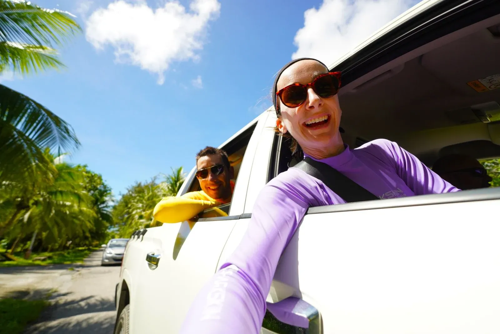
How Long Does It Take to Travel Around the Marshall Islands?
Whether you are wondering how long it takes to drive across Majuro, cross its lagoon by boat or reach the outer atolls, this guide to Marshall Islands travel times and distances has you covered. From the long ribbon of Lagoon Road to flights and boat journeys across the Ratak and Ralik chains, here is what to expect when getting around.
Still getting your bearings? Start with Where are the Marshall Islands Located?, then compare your transport options in the Marshall Islands Transport Guide: 10 Ways to Get Around the Marshall Islands.
This article is based on real on-the-ground research, not on AI scraping old content from the internet. Learn how we use AI!
Table of Contents
How to Get Around the Marshall Islands
Travel between the Marshall Islands’ atolls is possible by domestic flight, scheduled boat or private charter. Air Marshall Islands operates interisland flights from Majuro, while passenger boats and cargo vessels connect selected outer atolls.
On Majuro, travellers can get around by rental car, taxi, shared taxi, scooter, bicycle or private transfer. Boat transfers also cross Majuro Lagoon to nearby islands, resorts and picnic spots.
Find out more in our Marshall Islands Transport Guide: 10 Ways to Get Around the Marshall Islands.
-SEB%20CREDIT%20MarshallIslandsPocketGuide.com-900x506.webp?v=2026-07-09T18%3A30%3A56.459Z)
How Long Does it Take to Travel Around Majuro?
Wondering how long it takes to travel across Majuro using a particular type of transport? Wonder no more!
How Long Does It Take to Drive Across Majuro?
It takes approximately 1 hr 25 mins to drive the full length of Majuro from Rita, at The Spoon, to the end of Lagoon Road in Laura. The journey is approximately 30.8 mi (49.6 km) one way.
Driving times vary depending on traffic, roadworks and stops through Majuro’s more populated areas. For more practical advice, see How to Drive in the Marshall Islands + Road Rules.
How Long Does It Take to Travel Across Majuro by Taxi?
A taxi journey from Rita to Laura takes approximately 1 hr 25 mins, depending on traffic and how often the taxi stops to pick up or drop off other passengers.
Majuro taxis commonly operate as shared rides, so a journey can take longer than travelling in a private vehicle. Learn more in Taxis in Majuro: Taxi Fares, How to Use & More.
How Long Does It Take to Walk Across Majuro?
It takes approximately 9 hrs 55 mins to walk the full length of Lagoon Road, from Rita at the eastern end of Majuro to Laura in the west. The one-way journey covers approximately 30.8 mi (49.6 km).
Walking the entire route is a serious undertaking in Majuro’s heat, so start early, carry plenty of water and take regular breaks.
How Long Does It Take to Cycle Across Majuro?
It takes approximately 3 hrs 20 mins to cycle from Rita to Laura along Lagoon Road. This covers approximately 30.8 mi (49.6 km) from one end of the main road to the other.
Allow extra time for traffic, road conditions and rest stops, particularly through the busier communities of Rita, Uliga and Delap. See Cycling in Majuro: Bike Routes, Rentals & Tips for more advice.
Driving Times On/From Majuro
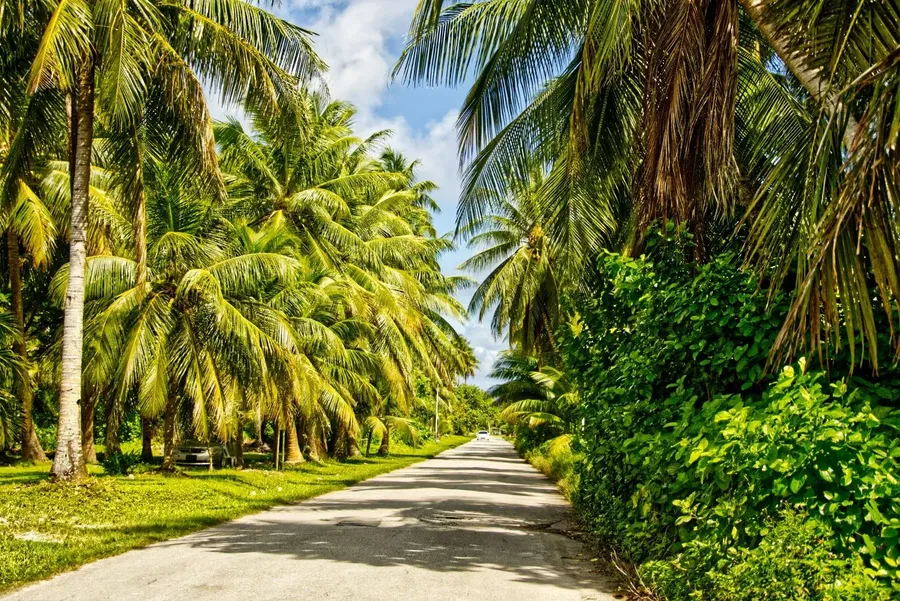
Majuro’s communities, hotels and attractions are connected by Lagoon Road, the atoll’s long main road running from Rita in the east to Laura in the west.
The following driving times are approximate. Traffic around Delap, Uliga and Rita, as well as road conditions farther west, can add time to your journey.
Driving Times From Delap Park to:
(Miles / Kilometres / Minutes)
- Amata Kabua International Airport: 6.8 mi / 11 km / 20 mins
- Ajeltake: 15-19 mi / 24-31 km / 37-47 mins
- Hotel Robert Reimers: 2 mi / 3 km / 9 mins
- Marshall Islands Resort: 0.4 mi / 0.7 km / 2 mins
- Rairok: 3.7 mi / 6 km / 13 mins
- Alele Museum: 1.6 mi / 2.5 km / 8 mins
- Rita (The Spoon): 3.1 mi / 5 km / 16 mins
- Woja: 19-20 mi / 31-33 km / 50 mins
- Laura Beach: 27.7 mi / 44.5 km / 1 hr 7 mins
Driving Times From Amata Kabua International Airport to:
(Miles / Kilometres / Minutes)
- Delap Park: 6.8 mi / 11 km / 20 mins
- Ajeltake: 8-12 mi / 13-20 km / 17-27 mins
- Hotel Robert Reimers: 8.7 mi / 14 km / 29 mins
- Marshall Islands Resort: 6.5 mi / 10.5 km / 19 mins
- Rairok: approximately 3 mi / 5 km / 7 mins
- Alele Museum: approximately 8.4 mi / 13.5 km / 28 mins
- Rita (The Spoon): approximately 10 mi / 16 km / 36 mins
- Woja: approximately 12 mi / 20 km / 30 mins
- Laura Beach: approximately 21 mi / 34 km / 47 mins
For more advice on reaching your accommodation, see the 5 Best Airport Transfers in the Marshall Islands.
Driving Times From Rairok to:
(Miles / Kilometres / Minutes)
- Delap Park: 4 mi / 6 km / 13 mins
- Amata Kabua International Airport: 3 mi / 5 km / 7 mins
- Ajeltake: approximately 11-16 mi / 18-25 km / 24-34 mins
- Hotel Robert Reimers: approximately 6 mi / 9 km / 22 mins
- Marshall Islands Resort: 3.4 mi / 5.5 km / 10 mins
- Alele Museum: approximately 5.3 mi / 8.5 km / 21 mins
- Rita (The Spoon): approximately 7 mi / 11 km / 29 mins
- Woja: 16 mi / 25 km / 37 mins
- Laura Beach: approximately 24 mi / 39 km / 54 mins
Driving Times From Ajeltake to:
(Miles / Kilometres / Minutes)
Ajeltake stretches along a sizeable section of Lagoon Road, so distances and driving times depend on your exact starting point.
- Delap Park: 15-19 mi / 24-31 km / 37-47 mins
- Amata Kabua International Airport: 8-12 mi / 13-20 km / 17-27 mins
- Hotel Robert Reimers: 17-21 mi / 27-34 km / 46-56 mins
- Marshall Islands Resort: 15-19 mi / 24-31 km / 36-46 mins
- Rairok: 11-16 mi / 18-25 km / 24-34 mins
- Alele Museum: 17-21 mi / 27-34 km / 45-55 mins
- Rita (The Spoon): 18-22 mi / 29-36 km / 53 mins-1 hr 3 mins
- Woja: 2-4 mi / 3-9 km / 4-11 mins
- Laura Beach: 8-13 mi / 14-21 km / 20-30 mins
Actual journey times can vary, especially when travelling through Majuro’s busier eastern communities. For more transport advice, see Majuro Transport Guide: 10 Ways to Get to (& Around) Majuro.
-SEB%20CREDIT%20MarshallIslandsPocketGuide.com.webp?v=2026-07-09T19%3A16%3A17.718Z)
Boat Times Around the Majuro Lagoon
Boat trips across Majuro Lagoon connect the main island with nearby picnic spots, private islands, resorts and communities that cannot be reached by road. Most short lagoon transfers take between five and 20 minutes, making island-hopping surprisingly easy when the weather behaves itself.
The distances below are approximate, as routes can vary depending on the departure point, tides and sea conditions.
Boat Times Around Majuro Lagoon
(Miles / Kilometres / Minutes)
- The Shoreline to Eneko Island: 6.8 mi / 11 km / 20 mins
- Marshall Islands Resort dock to Bokanbotin Island Resort: 4 mi / 6.5 km / 10-15 mins
- Marshall Islands Resort dock to Enemanit: 5.3 mi / 8.5 km / 10-15 mins
- Rita Landing to Ejit Island: 0.5 mi / 800 m / 3-5 mins
Allow extra time for boarding, loading luggage and arranging the boat, particularly when travelling with a group. Trips may also take longer in strong wind or choppy lagoon conditions.
Learn more about scheduled boats, private charters and island transfers in A Guide to Boat Transfers & Charters in the Marshall Islands.
-BI%20CREDIT%20MarshallIslandsPocketGuide.com-900x601.webp?v=2026-07-09T18%3A44%3A19.191Z)
Travel Times From Majuro to the Outer Atolls
Flying is the quickest way to reach the outer atolls from Majuro. Scheduled routes can change, however, so confirm whether your flight is direct or includes additional stops when booking.
The distances below are approximate straight-line distances from Amata Kabua International Airport, rather than the precise route flown by the aircraft.
Flight Times From Majuro
(Miles / Kilometres / Minutes)
- Mejit: 225 mi / 360 km / 1 hr 5 mins
- Kaben: 130 mi / 210 km / 30 mins
- Jaluit: 140 mi / 225 km / 40-55 mins
- Wotje: 180 mi / 290 km / 50-55 mins
- Majkin: 220 mi / 350 km / 1 hr
- Kwajalein: 265 mi / 425 km / 1 hr 15 mins-1 hr 20 mins
- Jeh: 160 mi / 260 km / 45 mins
- Woja: 190 mi / 305 km / 50-55 mins
- Ebon: 240 mi / 390 km / 1 hr 5 mins-1 hr 10 mins
- Namdrik: 235 mi / 380 km / 1 hr 5 mins
- Utirik: 300 mi / 485 km / 1 hr 20 mins
- Likiep: 230 mi / 375 km / 1 hr 5 mins-1 hr 10 mins
- Enejet: 85 mi / 135 km / 25 mins
Note that the destinations stated above are only the flights direct from Majuro. Learn more about schedules, bookings and baggage allowances in Domestic Flights in the Marshall Islands: Your Guide to Interisland Flights.
Boat Time From Majuro to Arno Atoll
Boats travelling between Majuro and Arno Atoll take approximately 45 mins-1 hrs 30 mins, depending on the operator, the speed of the boat, sea conditions and the exact landing point.
- Majuro to Arno Atoll: 12 mi / 20 km / 45 mins-1 hrs 30 mins
Confirm the departure point and landing location before travelling, as these can affect both the distance and journey time.
Learn more about the crossing in Majuro to Arno Atoll by Boat: Fares, Schedules & Tips. For other boat services and private charters, see A Guide to Boat Transfers & Charters in the Marshall Islands.
More About Majuro and Marshall Islands Travel Times and How Long it Takes to Travel Around the Marshall Islands
That's it for our guide to the Marshall Islands' travel times and distances. Now that you know how long it takes to travel around the Marshall Islands, see more travel times in the following articles:
- What are the Flight Times to the Marshall Islands?
- Which Airlines Fly Directly to the Marshall Islands?
- How Long Does it Take to Sail to the Marshall Islands?
Finally, plan the rest of your adventure using The Best Marshall Islands Travel Guide and the 30 Tips for Travelling in the Marshall Islands.

-SEB%20CREDIT%20MarshallIslandsPocketGuide.com-900x506.webp?v=2026-07-09T19%3A04%3A13.056Z)